

Bureau outlook points to hotter months and uneven rain across Australia
The Bureau’s summer outlook favours widespread warmth, with wetter conditions in parts of the east and a drier signal across the north and south-east.
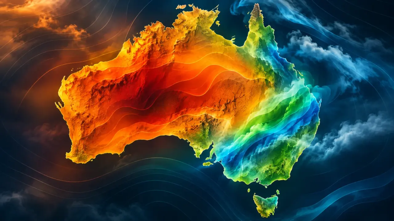
Most of Australia is likely to experience warmer-than-average days and nights over summer, while the rainfall outlook splits the country between wetter and drier regions, according to the Bureau of Meteorology’s latest long-range forecast.
The Bureau’s December-to-February outlook, issued on 12 November, shows above-average rainfall is likely for inland southern Queensland and eastern New South Wales. Below-average rainfall is more likely across much of northern Australia and parts of the south-east.
The temperature signal is broader. Daytime and overnight temperatures are very likely to be above average across most of the country, increasing the risk of unusually warm conditions and heatwaves.
A national outlook with regional differences
Seasonal outlooks describe probabilities over large areas and long periods. They do not mean every location will follow the same pattern or that rain will be evenly distributed.
Parts of eastern Australia have an increased chance of a wetter summer overall, but northern regions face a drier signal. The Bureau also cautions that heavy rainfall can still occur in an area whose seasonal outlook favours below-average totals. A small number of intense events can sit inside an otherwise dry season.
That distinction is important for planning. Farmers, emergency services, energy operators and households need to consider both the seasonal tendency and short-range forecasts as individual weather systems develop.
The Bureau’s video outlook for November to January similarly highlights a mixed rainfall pattern, with wetter conditions favoured in parts of western, central and eastern Australia and drier conditions more likely in the far north and south-east.
Heat is the more consistent signal
The clearest national feature is warmth. The Bureau says there is an increased chance of unusually warm days across much of Australia and a very high chance of unusually warm nights in many regions.
Warm nights can matter as much as hot afternoons because they reduce the time available for people, buildings and infrastructure to cool. Extended periods of high minimum temperatures can also increase pressure on electricity demand and public health services during heatwaves.
Ocean temperatures add another factor. Waters around southern and southeastern Australia were up to 3 degrees Celsius warmer than average in the week ending 8 November, according to the Bureau. The seasonal forecast points to a risk of marine heatwave conditions, particularly near the south-east early in the season.
Marine heatwaves can affect fisheries, aquaculture and coastal ecosystems. Their local impact depends on duration, depth and location, so a broad outlook is not evidence that a particular ecological effect will occur.
El Niño does not determine every local outcome
The Bureau says a strong El Niño is forecast and a positive Indian Ocean Dipole is under way. Both climate drivers can influence Australian rainfall and temperature, but they are not the only factors shaping the season.
The strength of an El Niño event also does not translate directly into the strength of its effects in every region. Local weather, sea-surface temperatures and shorter-term atmospheric patterns can change the result.
For that reason, the seasonal outlook should be read as a risk guide rather than a fixed prediction. It can support planning, but it cannot replace warnings and forecasts issued closer to an event.
What to watch over summer
The combination of widespread warmth, elevated heatwave risk and uneven rainfall makes regular updates important. The Bureau refreshes its long-range outlooks and publishes shorter-range forecasts, heatwave information and severe-weather warnings as conditions evolve.
For energy systems, sustained heat can lift cooling demand at the same time as extreme weather affects generation and transmission. For agriculture and water management, the timing of rainfall may be as important as the seasonal total. That planning challenge sits alongside Australian work on energy technologies, including a waste-heat electrolyser backed by ARENA and research showing why water in rock may complicate underground hydrogen storage.
The outlook establishes a higher probability of particular conditions; it does not establish that every forecast impact will occur. The most useful response is to combine the national signal with local forecasts and official warnings throughout the season.
Primary sources